Outdoors
Games
Hobbies
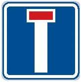
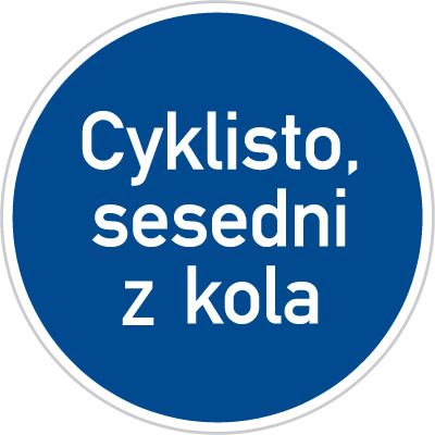
Prague & Czech Cycling SignageComprehensive lists of standard road signage are available on Wikipedia and OpenStreetMap. Circuit Rider CZ has a good overview of cycling-specific Czech signage. [ back to Czech cycling notes ] RegulatoryThe most important regulatory and informational signage to know includes:
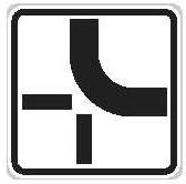
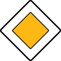
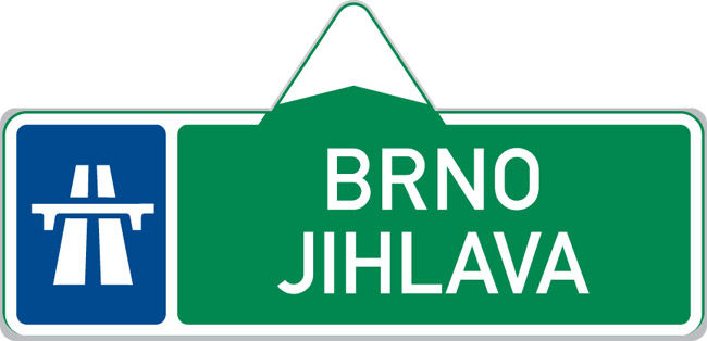
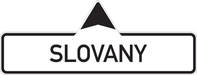
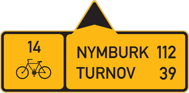
In Prague itself the signs can be extremely hard to see, so pay attention to indicators painted on the road itself as well. In particular, white triangles indicate a "Yield." There will be a perpendicular thick white line at the intersection where you're supposed to stop, the same as in America. There are few "Yield" and "Stop" signs around, making the English-language "Stop" sign especially funny when you find one in the middle of nowhere. Note that the "No Vehicles," "No Bikes," etc., do not have the American standard line through the middle. Frequently a "Dead End" road will actually continue, but will not be paved and may or may not go anywhere. The "Intersection" signs are very important to watch for because they indicate which way the main road goes. In many places out in the countryside it's not necessarily otherwise clear. Caveat other signage, that's the way you should go as well to follow, e.g., a cycling route. The "Main Road" sign is merely informative, noting that your road has priority over the smaller intersecting roads and such. DirectionalRoute and directional signage can take a moment to decipher when unfamiliar, but are straightforward afterward. All of them follow the pattern of having the destination names and an arrow in the relevant direction. The numbers in the small side box are the route designation. The numbers next to the names in the larger box are the distance in kilometers to that destination. The route designation is always on the opposite side as the turn and the distances on the same side.
There are two overlapping and complementary classification schemes to be aware of: Colors and numbers. The color of directional signage indicates the following:
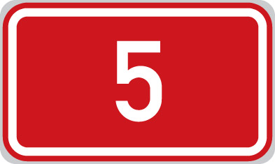
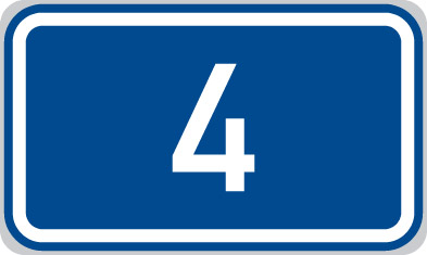
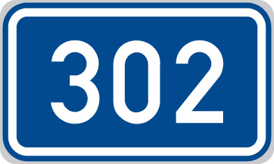
In addition, red or green route numbers indicate major limited-access highways; note that this is specifically the route numbers, different from the red street signs. Similarly, the numbers also indicate the type of route. For roadways the scheme is straightforward and informative:
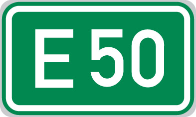
Some routes have an 'E' in front of them, indicating a major Euro-highway. These will also be green on maps and signs.
Cycling signs have a similar numbering scheme:
 However, cycling route numbers in general mean less in practice than road numbers. There's little correlation between them and the associated riding---paved or dirt; bike path, bike lane, or road; etc.. Some routes around Prague also have an 'A' in front of the number and don't really follow that distance scheme. More positively, in many places cycling routes make small diversions to meet roads that don't quite connect, or split off in complicated ways. These are generally indicated by large, elaborate, awesome signboards such as that to the right. RecommendationsThe following are a few general notes to keep in mind. Take these with a grain of salt and of course use your best judgement.
|
| Recent Changes (All) | Edit SideBar | Page last modified on May 20, 2015, at 06:26 AM | Edit Page | Page History |


